
Sant Agustí de Lluçanès
Barcelona · Cataluña
Sant Agustí de Lluçanès (Catalan pronunciation: [ˌsantəɣusˈti ðə ʎusəˈnɛs]) is a municipality in the comarca of Osona in Catalonia, Spain. Although the municipality lies within the natural region of Lluçanès, it voted in 2015 not to join a proposed new comarca of that name, but the plan was put on hold due to insufficient support.
History
La iglesia de San Agustín aparece citada por primera vez en 905 en el acta de consagración del monasterio de Santa María de Lluçà. La iglesia de San Ginés del Pi se conoce desde 938 y el santuario dels Munts desde 1170.
En 2014 se agregaron al municipio 4,07 ha segregadas del municipio de San Baudilio de Llusanés.
Monuments
Santuario de la Virgen dels Munts, a 1060 m s. n. m. de altitud. Conserva una talla románica del siglo XIII.
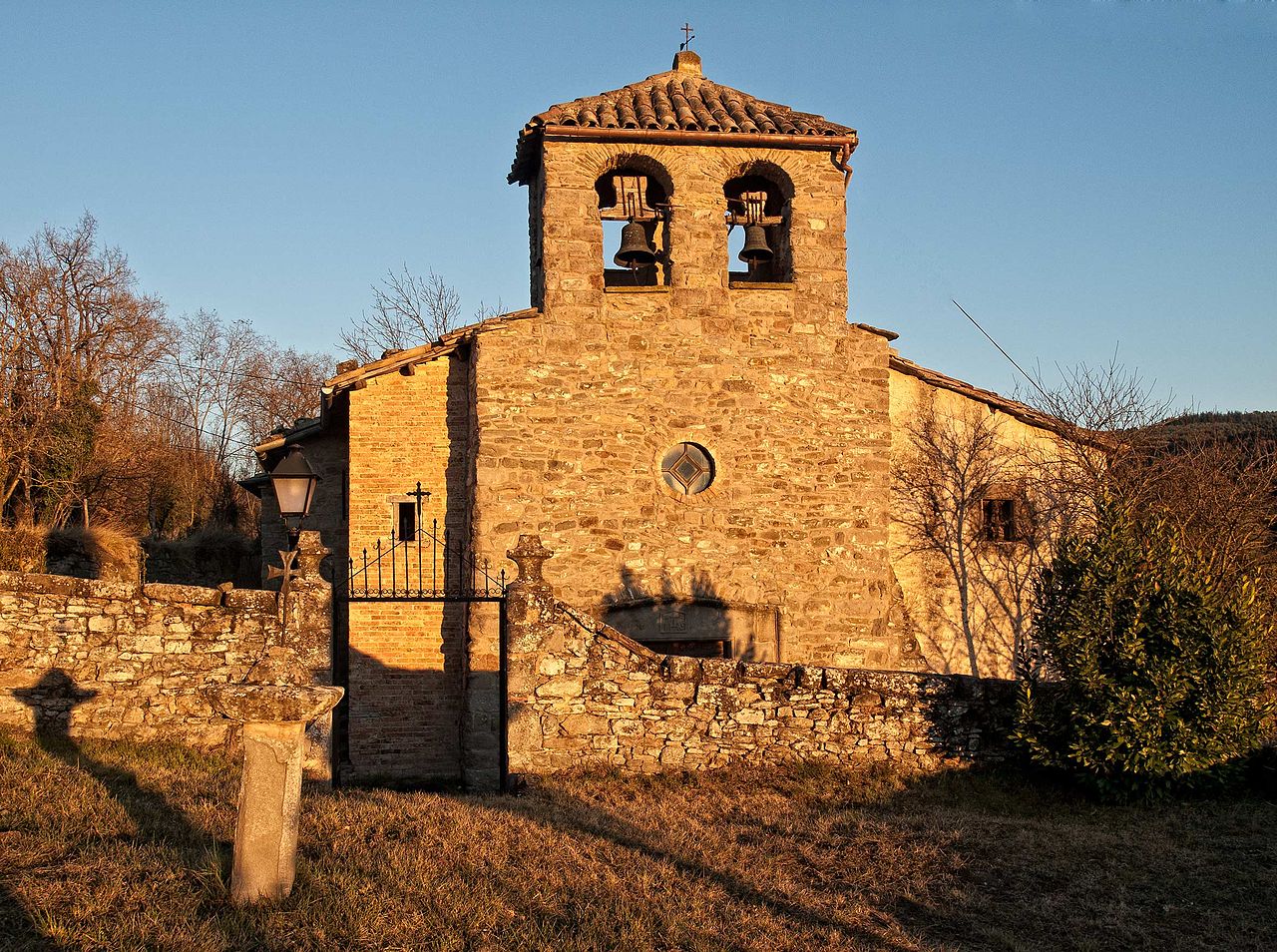
Iglesia de San Ginés del Pi, de origen románico.
Gallery


Festivals
November 2026
Festivals this month
- No festivals recorded this month.
Rest of the year
- August: Fiesta patronal: San Agustin (28)
Trails and hiking
•Sender Històric: Catalunya (GR 1, 400 km)
•Ruta del Sorreigs (PR-C 46)
•Camí Ramader de Marina (CRdM, 230 km)
•GR 3 Sender Central de Catalunya - Etapa 32 (GR 3, 14.1 km)
Town hall
Alcaldía: Laia Serrat Danés
Web oficial: https://santagustidellucanes.cat
Town hall of Sant Agustí de Lluçanès
Alcaldía: Laia Serrat Danés Web oficial: https://santagustidellucanes.cat
Here goes your town hall's profile or your website address. Are you from the town hall? Go premium to complete your profile and edit your village's content. hola@ciudadesypueblos.es
How to get there
- 🚗 65 km from Breda (about 46 min by car)
- 🚗 74 km from Terrassa (about 52 min by car)
- 🚗 98 km from Barcelona (about 69 min by car)
🧭 Travelling around the villages of Spain: a practical guide — Opening hours, transport, money and customs, before you set off.
- ✈️ 70 km from Girona-Costa Brava airport (about 49 min by car)
- ✈️ 110 km from Barcelona-El Prat airport (about 78 min by car)
Practical info
🅿️ Where to park
- Where to park · 0.9 km away
⛽ Nearest petrol station
- Benzinera El Túnel · 7.9 km away
- Nearest petrol station · 9.5 km away
ℹ️ Tourist office
- Tourist office · 2 km away
- Tourist office · 2.2 km away
- Tourist office · 2.2 km away
🔭 Viewpoints
- Viewpoints · 2.3 km away
- Roca de la Lluna · 3.6 km away
- Mirador de La Serra · 4.2 km away
Buses
La carretera local BV4654 lo comunica con Alpens por el noroeste y con San Quirico de Besora y la C-17 por el este.
Wall
🏛️ The town hall publishes on this wall. Residents publish their business in Services and their home or job offer in Community, for free.
This wall is still quiet.
News
🏛️ The news is published by the town hall. Residents publish their business in Services and their home or job offer in Community, for free.
There is no news from Sant Agustí de Lluçanès yet. Be the first to tell it.
Videos
Discover Sant Agustí de Lluçanès on video: